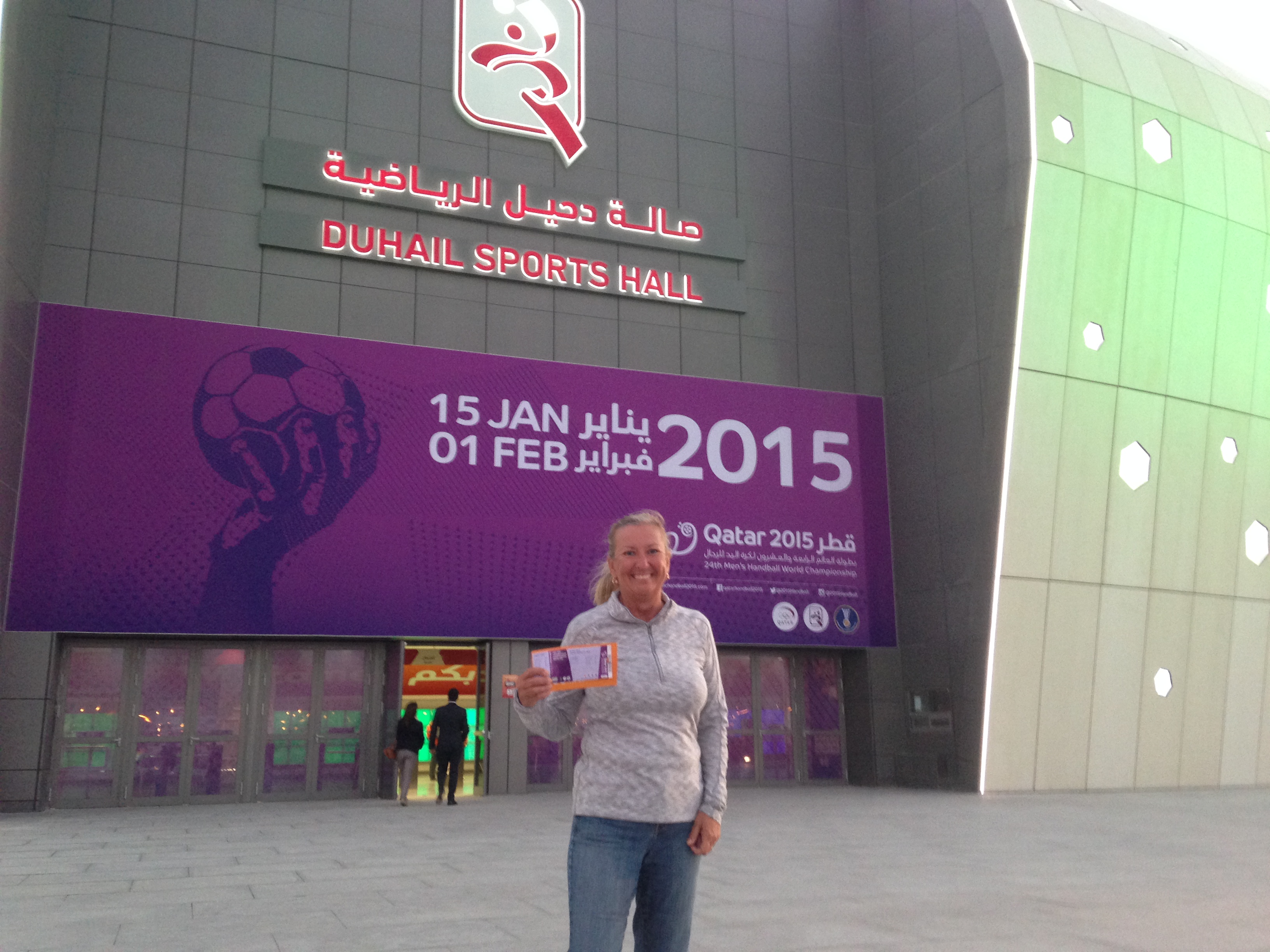
We went home for July and part of August, but then rejoined the ship for our first “expedition.” About twice a year, the ship goes somewhere special to explore parts of the world rarely visited. A team of area specialists and “ologists” (geologists, naturalists, anthropologists, archaeologists) come on to lead the expedition and give daily lectures. Zodiac landing boats are used to take groups ashore for exploring, hikes, and photo walks with a professional National Geographic photographer.
![GISP2map[1]](https://davendebra.com/wp-content/uploads/2015/09/gisp2map1.png) We’re not out-doorsy people other than beaches and turquoise water, but had heard such great things about these expeditions that we decided to try one. We boarded in Reykjavik, Iceland and sailed up the east coast of Greenland into the Arctic Circle, going to almost 72 degrees latitude to a national park visited by fewer than 500 people per year.
We’re not out-doorsy people other than beaches and turquoise water, but had heard such great things about these expeditions that we decided to try one. We boarded in Reykjavik, Iceland and sailed up the east coast of Greenland into the Arctic Circle, going to almost 72 degrees latitude to a national park visited by fewer than 500 people per year.
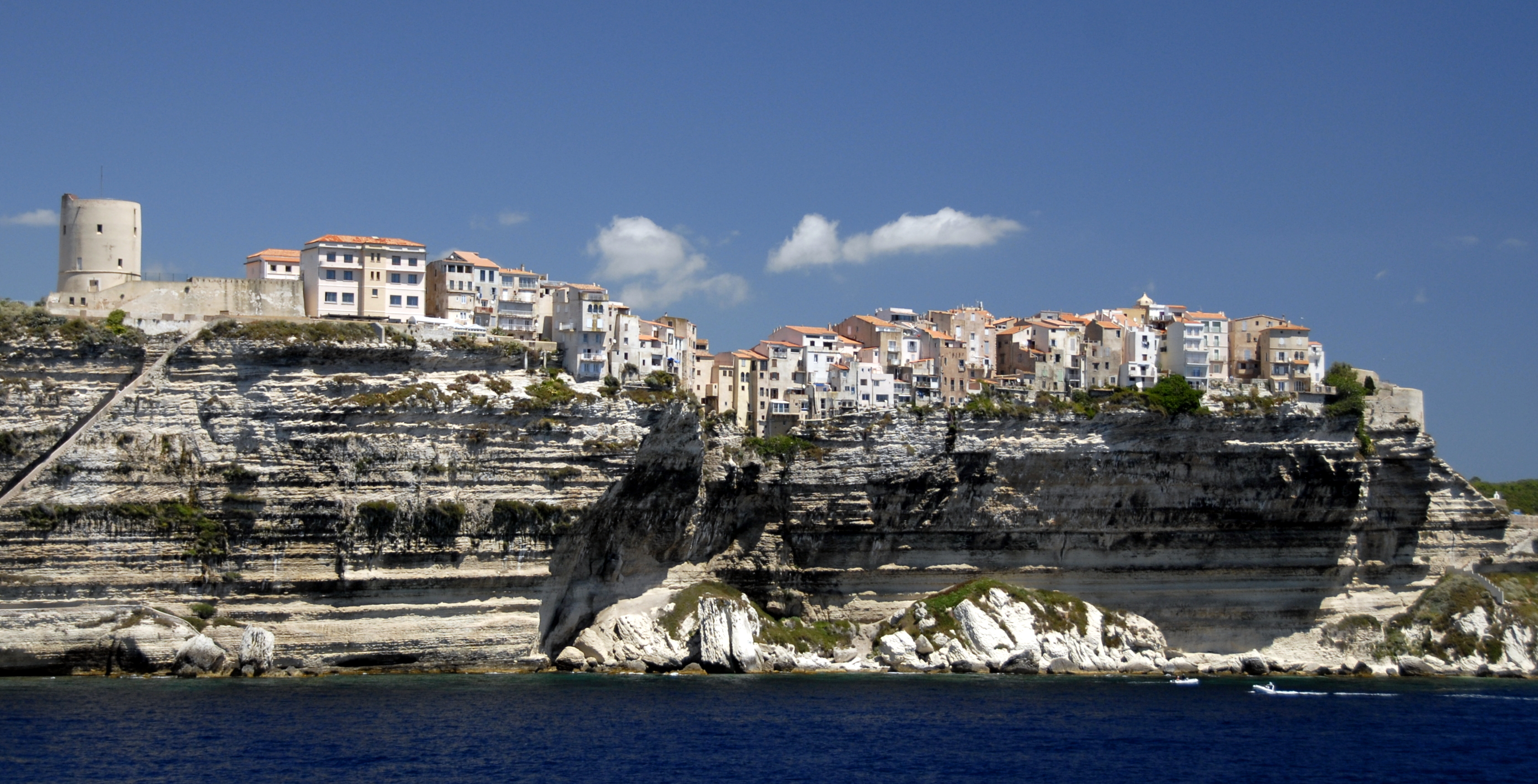
People say “Iceland should be named Greenland, and Greenland should be named Iceland.” It’s true – the gulf stream warms Iceland, but bypasses Greenland, and the result is a huge land mass covered with a 100,000 years of snow and ice. Some claim the Vikings, who originally explored the country, named it Greenland to try to get people to come. We followed their trail from north to south on the east coast, and found no arable land – just beautiful fjords, mountains and glaciers. We did stop and wander around a couple of small villages. Their brightly painted houses make them look fake. At Ittoqqorttoormiit (a serious Scrabble word), a supply ship only comes in August and October. When it comes in August, after a 10 month gap, the whole town stops in celebration. We didn’t think it appropriate to buy anything from their grocery store.


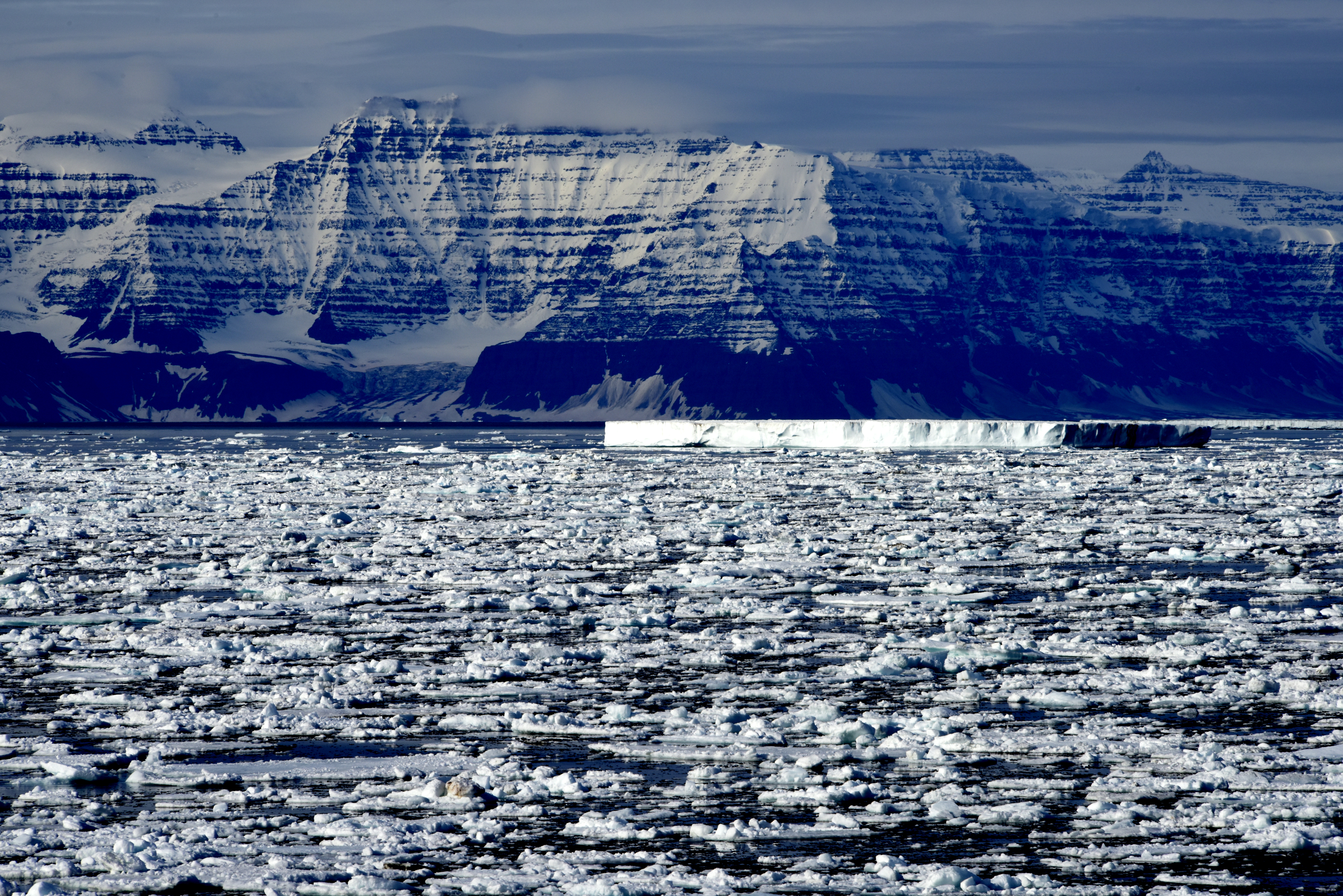
I must admit, we were fascinated to learn about the ice cap, glaciers, and icebergs – which combined make up an estimated 75% of the world’s fresh water. Today they cover 10% of the world’s surface, 33% during the Ice Age. As the snow falls, the weight causes the lower levels to compress. 30 feet of snow gets compressed to 2.5 inches of ice. Air pockets get compressed and preserved. As they melt, you can hear a snap,crackle, pop like Rice Krispies. By taking core samples almost a mile deep in Greenland, scientists are able to learn about the air quality and temperatures 100,000 years ago (800,000 years ago in the Antarctic)! An amazing 4 minute video about NASA’s research of the Greenland Icecap is worth a look at https://www.youtube.com/watch?v=u0VbPE0TOtQ .
While in 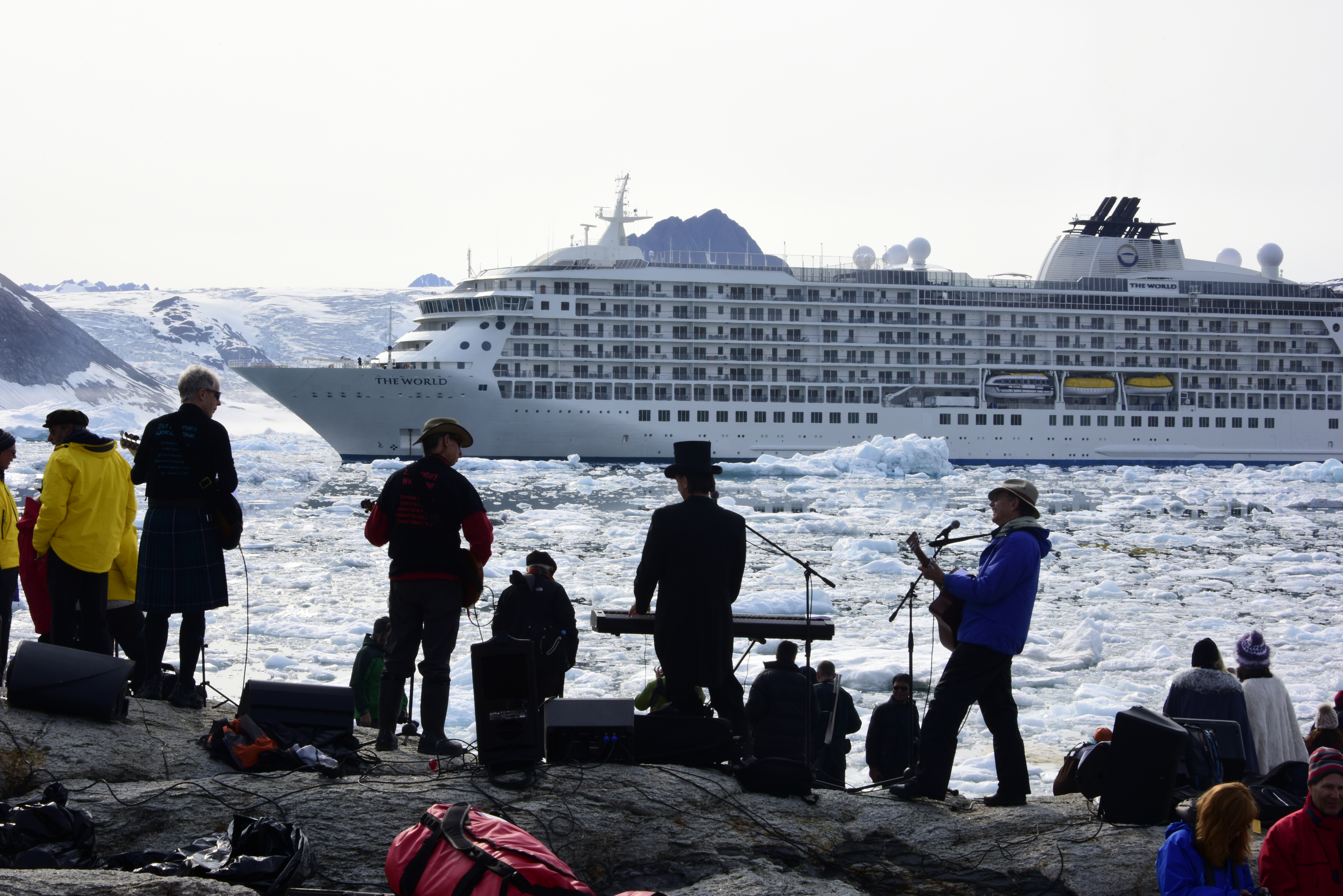 one of the fjords, the ship scheduled
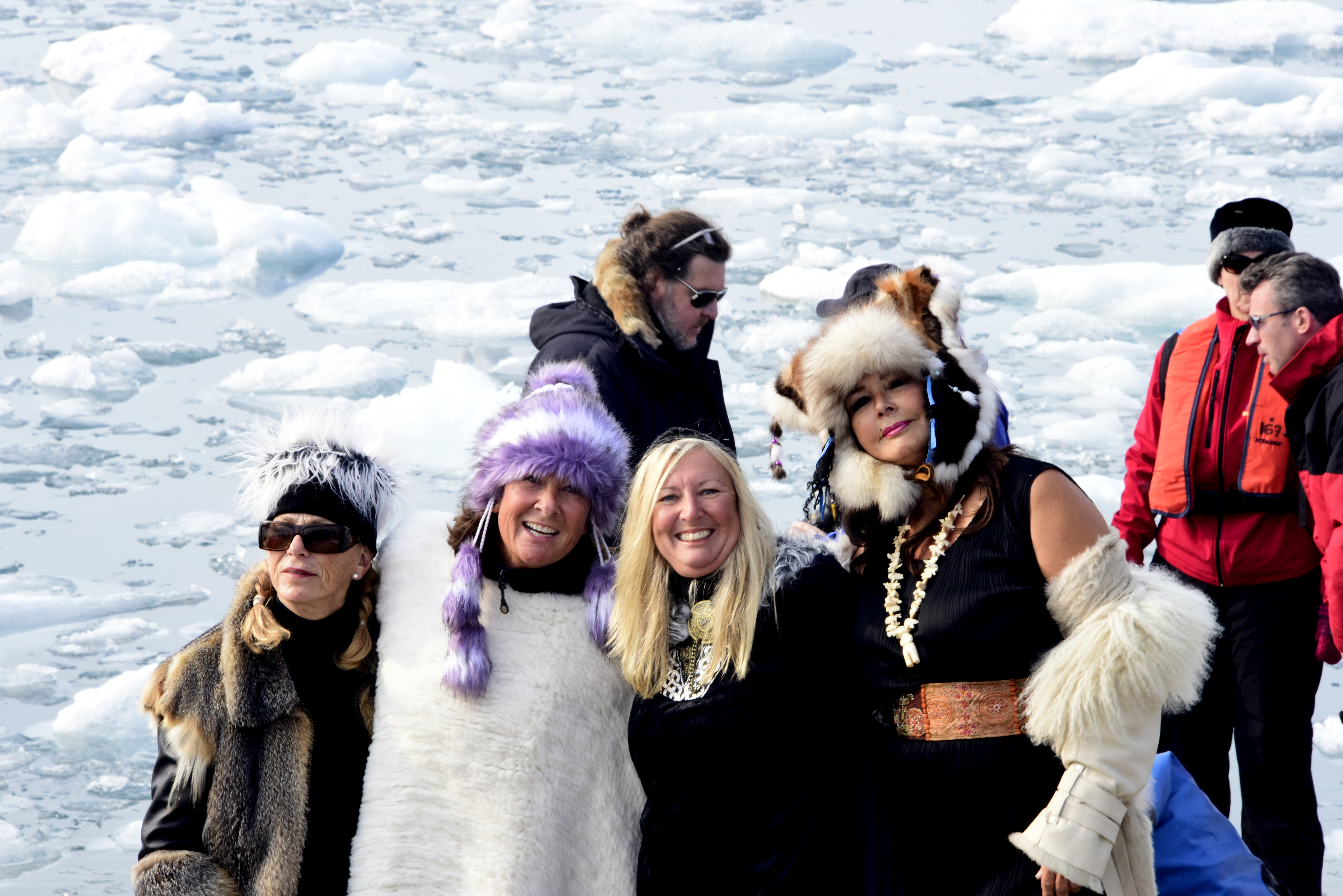 a “beach party” surprise after an afternoon of Zodiac cruising. In addition to the Fabulous Fossils band (a group of residents not afraid to try), there was a special appearance by the dancing Fossilettes, led by Debra.
The weather was not always great, but when it was, the scenery was glorious.
I spent a lot of time on photography, as photographer Raul Touzon not only had photo workshops and walks, but also led a “competition” each day to make a travel book.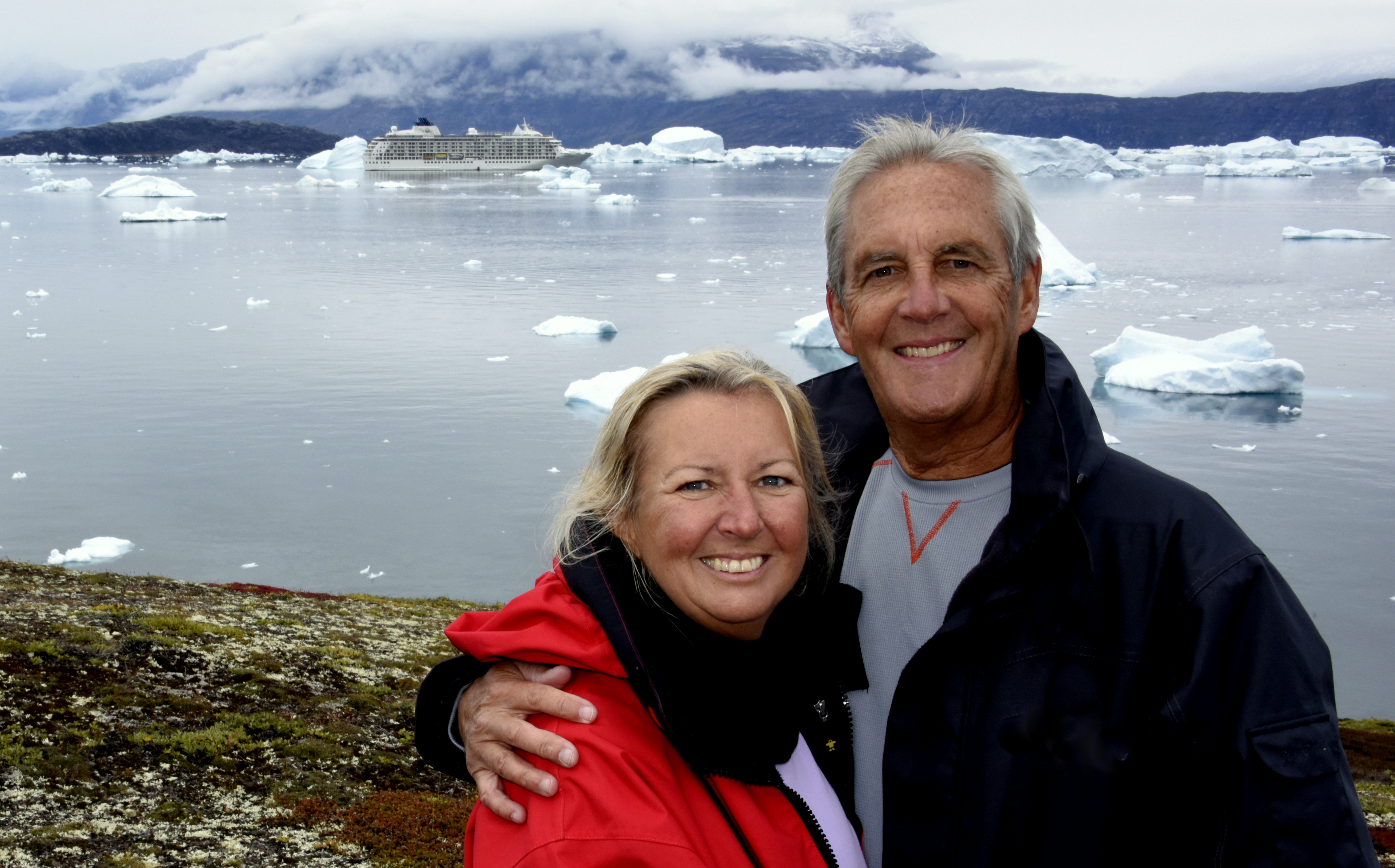 There are a lot of serious photographers on board, so it made me work much harder than I would have otherwise. I discovered the amazing capability of software that can be used to create “stitched” panoramas, or highly detailed photos capable of very large prints. There are free versions that I dabbled with that seem great (Windows has one). But I so enjoyed the results that I bought Raul’s recommended Autopan Pro for about $120. To test the limits of the program, it took and “stitched” or merged 320 photos (shooting 8 shots while panning left to right 4 times in vertical rows). The processing by Autopan took a long time, but resulted in a 190 megapixel photo that I could blow up to 4’x7’ with excellent detail. So cool. As Raul says – very few people have ever been where we go, and even fewer take a panorama shot. The files are too big for the blog, but I’m anxious to try having one professionally printed when I get home.
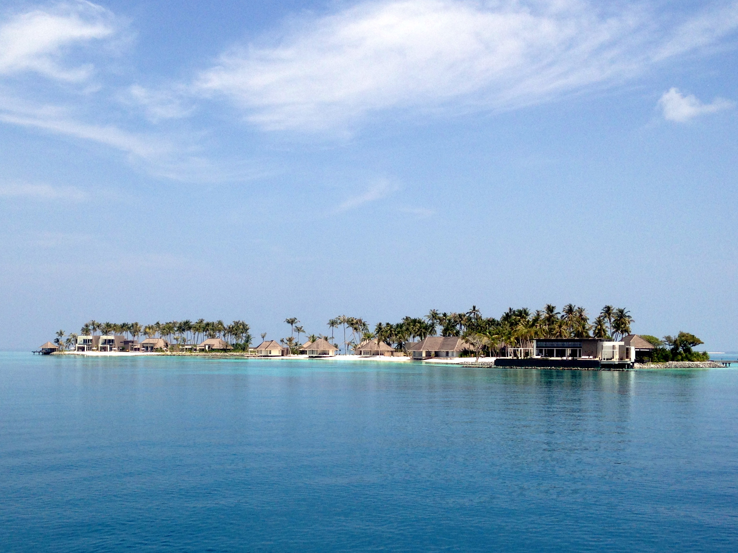
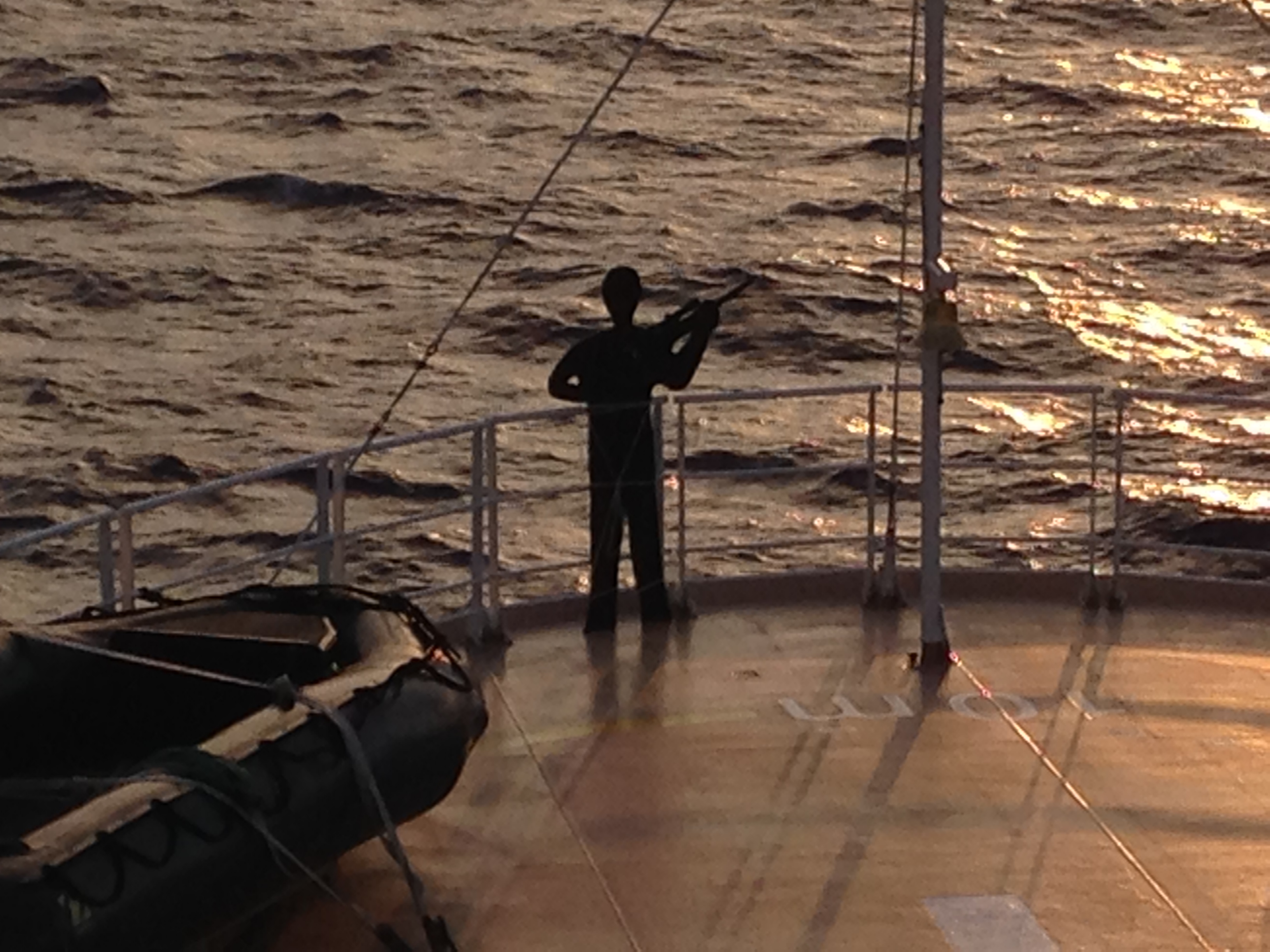
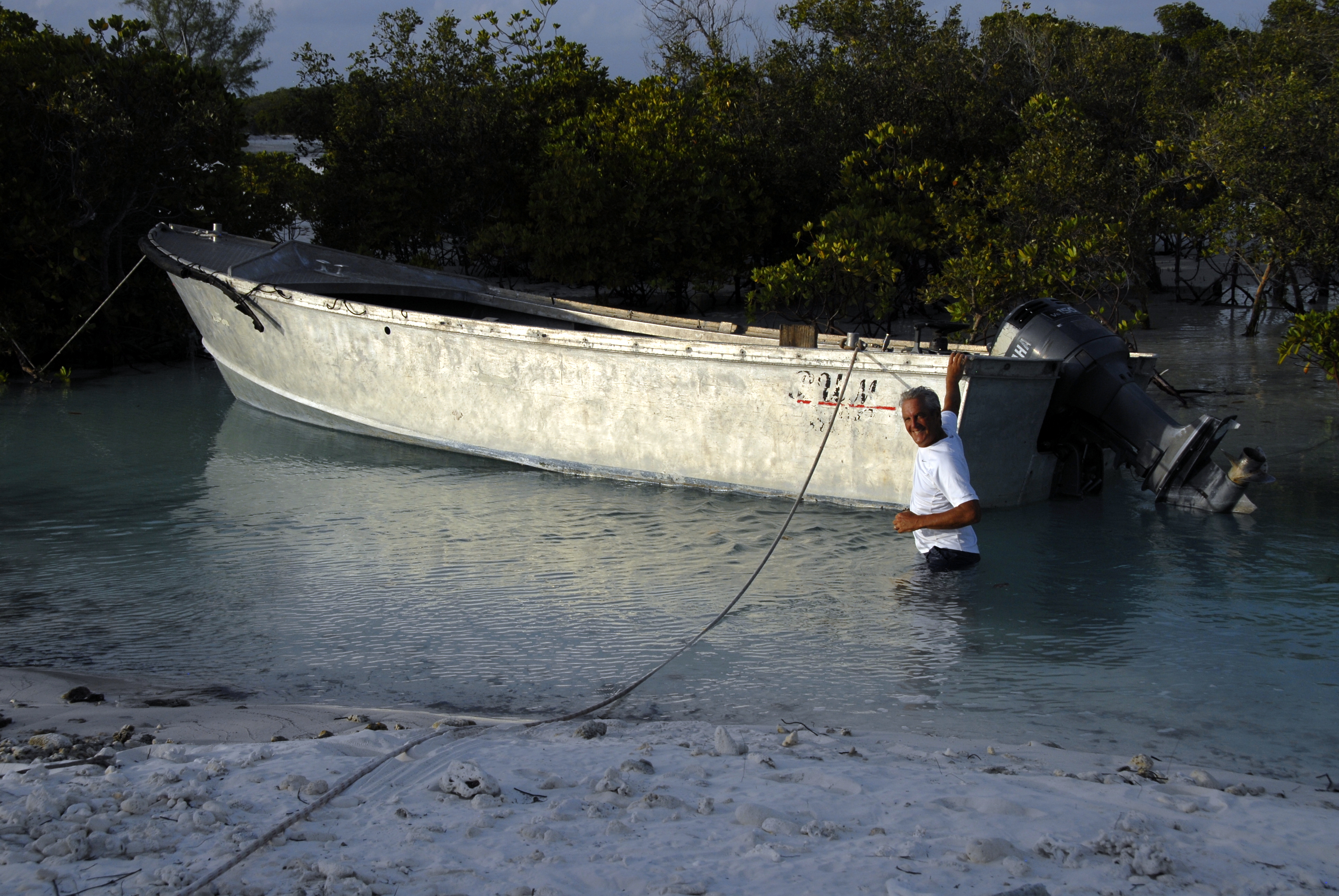
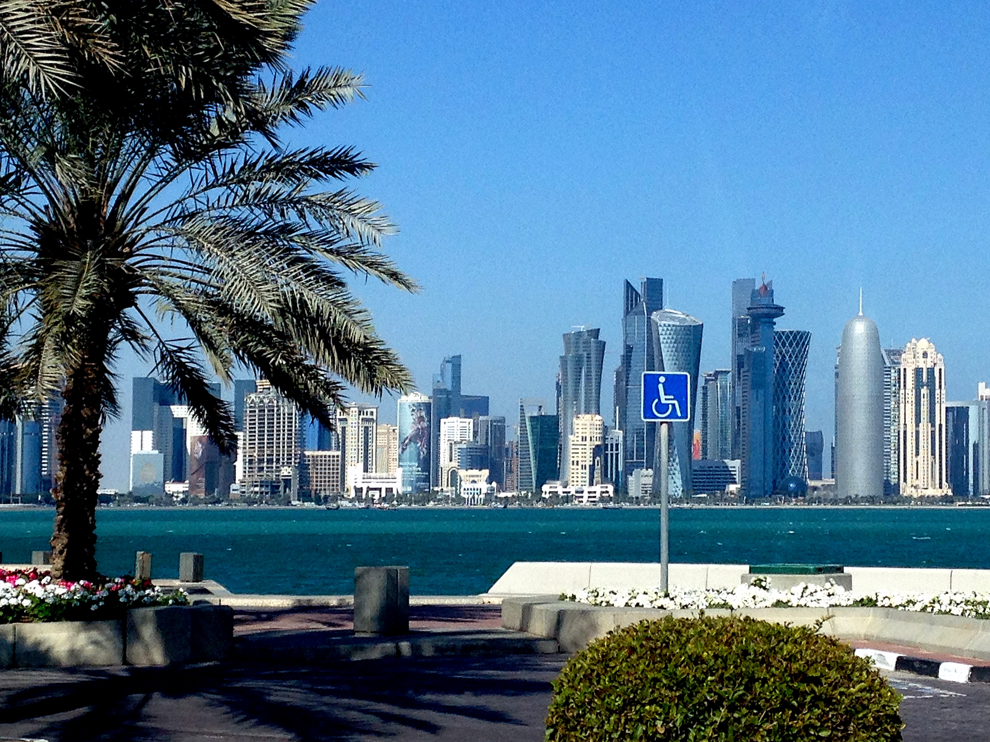
A few pictures I like (click to view):


P.S. The book just came out. 34 people submitted 6000 photos. The book is pretty big, but you can “flip” through it without buying it at http://www.blurb.com/bookstore/invited/5876925/f4ff0c6c316f079793bce41b9e2d6aa55be447fa or download it to an iPad for free at: http://www.blurb.com/ebooks/p040a58ff31f85087d7ed I think only 3 of about 500 of them are mine, so I guess I have some work to do!
The trip was interesting, and a good place for photos – but after the first week in the Arctic (fabulous) we came further south and there were a lot of days of fog and rain, so it wasn’t our favorite. We’re going back home to family, sun, golf, and pool for the rest of September.
As for video, instead of suffering through another shaky iPhone video from me, I took some excerpts from a professional videographer who documented the expedition. These are from the first week when we had good weather. What is especially thrilling is the video from a drone they used for some of the shots. To be able to get great “helicopter” shots from such a remote region is pretty cool. Sadly, the drone had a battery fail and took a cold dive, but what it did capture is really cool. Take a look:


")


")


")
")

")
")
")
")
")
")